
Product details
- Publisher : Tecnos; edición (May 28, 2007)
- Language : Spanish
- Paperback : 416 pages
- ISBN-10 : 8430945377
- ISBN-13 : 978-8430945375
- Item Weight : 1.16 pounds
- Dimensions : 5.51 x 0.91 x 8.86 inches
$47.53
Paperback – May 28, 2007
Shipping rates are calculated based on local US cities; international rates may apply for other countries.
Hardcover –
October 30, 2004
by James C. Robertson (Author) The prevention of unwanted fires has long been considered the responsibility of the modern-day fire department, however other agencies and organizations play a vital part in educating the public about fire prevention. From the responsibilities of the fire department to the role of the private and public sectors, this best-selling text presents a broad-based look at fire prevention including arson suppression, fire safety education, and code enforcement. The sixth edition has been updated to cover current concepts in all aspects of fire prevention and features lessons learned from recent fire tragedies.UK ed. Edition
by Roger P. Bennett (Author, Editor)
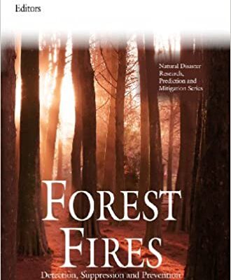
Forest fires are a serious problem affecting many terrestrial ecosystems and causing substantial economic damage. Due to the increase of frequency and severity of large forest fire and wildland-urban interface fires, the World Health Organization has identified this problem as a threat to public health security in the 21st century. This book gathers and presents current research from across the globe in the study of fire detection techniques and applications. Some topics discussed, herein, include: early detection of forest fires from space using the RTM method; using the Lidar technique (light detection and ranging) for evaluation and fire surveillance; remotely sensed fire maps and historic fire regime reconstructions; aerosol and trace gas retrievals from remote sensing fire products; as well as using wireless thermal sensors to detect the positions of the fire front.
Hardcover – August 26, 2016
1982nd Edition
by Tran Van Nao (Editor)
Tran Van Nao (Editor) The last decade has witnessed a seriously increasing incidence of forest fires in many countries. Substantial economic and ecological losses have been incurred, although the estimation of total damage This has been due to the lack assessment has often been inaccurate. of standardized methods for collecting data on fire occurrence and area burnt, as well as information such as the value of the vegetation destroyed and restoration costs, and the implications for recreation, tourism and other social activities. The Mediterranean region was initially considered one of the most vulnerable to forest fires because of its' dry climate and strong winds. No region is immune to forest fires, however, and damage has been especially severe in areas where pine is the predominant species. Although forest fires are normally considered a national problem, they become an international one when they occur in border area forests or when the ecological impacts are felt over long distances. The potential for forest fires exists in every country -unless it is a complete desert - and for this reason, there is a need to promote better understanding of the fires, and closer cooperation between countries in controlling them.
Paperback – September 30, 1996
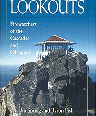
by Ira Spring (Author), Byron Fish (Author)
* History of 75 fire-protection lookouts * More than 200 photos from archival and personal collections * Selected access information Once the most advanced means of fire detection, the fire-protection lookout towers built and manned in the mid- to late-1900s in Washington state are now historic sites and an intrinsic part of the heritage of the Northwest and its people. Lookouts: Firewatchers of the Cascades and Olympics is a complete history of the lookouts and a tribute to the people who often endured challenging conditionsñfrom loneliness to forbidding weatherñwhile serving as firewatchers. Authors Ira Spring and Byron Fish paint a vivid picture of each lookout tower in Mount Baker-Snoqualmie National Forest, Mount Rainier National Park, the Olympics, Gifford Pinchot National Forest, Wenatchee National Forest, and Okanogan National Forest, and provide inspirational personal anecdotes from the people who manned and worked to preserve these buildings. This edition includes appendixes that provide driving and hiking directions to selected lookouts, information on volunteer organizations active in preserving lookouts, and a historical registry of western Washington lookouts.
UK ed. Edition
by Eduards Gomez (Author, Editor), Kristina Alvarez (Editor)
A forest fire is any uncontrolled, non-structure fire that occurs in the wilderness. Wildlife behavior is often complex and variably dependent on factors such as fuel type, moisture content in the fuel, humidity, wind speed, topology, geographic location and ambient temperature. Weather patterns, such as heat waves droughts can also have a dramatic impact on the onset and outcome of wildfires. Fire is sometimes essential for forest regeneration, however, it often destroys forests and has dire social and economic consequences. This book looks at the underlying causes of forest fires, their ecological effects and preventive strategies.
There are no reviews yet.