
Product details
- Publisher : John F Blair Pub (April 15, 2008)
- Language : English
- Paperback : 272 pages
- ISBN-10 : 0895873567
- ISBN-13 : 978-0895873569
- Item Weight : 11.7 ounces
- Dimensions : 5.25 x 0.65 x 8.25 inches
$8.99
Paperback – April 15, 2008
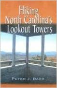
In Hiking North Carolina’s Lookout Towers, Peter Barr describes 26 fire and lookout towers in the mountains of North Carolina. Each entry includes historical information about the tower and the mountain on which it stands. The entries contain descriptions of what can be seen from the towers; thorough directions, distances, and difficulty ratings for hiking trails and routes leading to the towers; maps; and photographs.
Shipping rates are calculated based on local US cities; international rates may apply for other countries.
Paperback – April 6, 2015
by Robert Sorrell (Author)
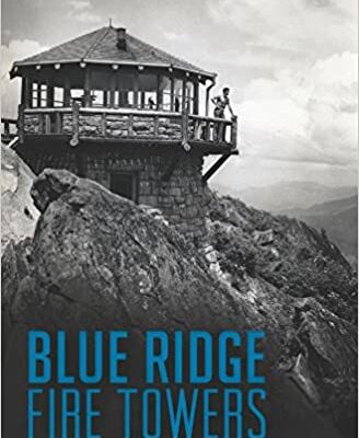
Fire lookout towers have graced the highest peaks in the Blue Ridge Mountains for more than a century. Early mountaineers and conservationists began constructing lookouts during the late 1800s. By the 1930s, states and the federal government had built thousands of towers around the country, many in the Blue Ridge. While technology allowed forestry services to use other means for early detection of fires, many towers still stand as a testament to their significance. Author Robert Sorrell details the fascinating history of the lookouts in the Blue Ridge's forests
1982nd Edition
by Tran Van Nao (Editor)
Tran Van Nao (Editor) The last decade has witnessed a seriously increasing incidence of forest fires in many countries. Substantial economic and ecological losses have been incurred, although the estimation of total damage This has been due to the lack assessment has often been inaccurate. of standardized methods for collecting data on fire occurrence and area burnt, as well as information such as the value of the vegetation destroyed and restoration costs, and the implications for recreation, tourism and other social activities. The Mediterranean region was initially considered one of the most vulnerable to forest fires because of its' dry climate and strong winds. No region is immune to forest fires, however, and damage has been especially severe in areas where pine is the predominant species. Although forest fires are normally considered a national problem, they become an international one when they occur in border area forests or when the ecological impacts are felt over long distances. The potential for forest fires exists in every country -unless it is a complete desert - and for this reason, there is a need to promote better understanding of the fires, and closer cooperation between countries in controlling them.
Paperback – May 9, 2011
by Jan Cerney (Author), Roberta Sago (Author)
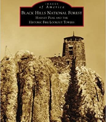
Once vital to fire prevention and detection, most of the Black Hills National Forest historic lookout towers now serve primarily as hiking destinations. The first crude lookout structures were built at Custer Peak and Harney Peak in 1911. Since that time, more than 20 towers have been constructed in the area. The first lookout towers were built of wood, most replaced by steel or stone. The Civilian Conservation Corps was instrumental in constructing fire towers during the 1930s and 1940s. One of the most famous and architecturally and aesthetically valued towers is the Harney Peak Fire Lookout--situated on the highest point east of the Rocky Mountains. Harney Peak is among a number of Black Hills towers listed on the National Historic Lookout Register. Over 200 vintage images tell the story of not only the historic fire towers but those who manned them. Perched atop high peaks in remote locations, fire lookout personnel spent countless hours scanning the forest, pinpointing dangers, often experiencing the powerful wrath of lightning strong enough to jolt them off their lightning stools.


There are no reviews yet.